Professional land Surveyors and Town Planners
Our Services
Our primary objective is to provide land survey services to the communities and companies in the efficient application of ethics and morals..
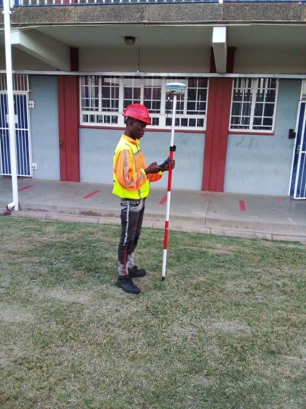
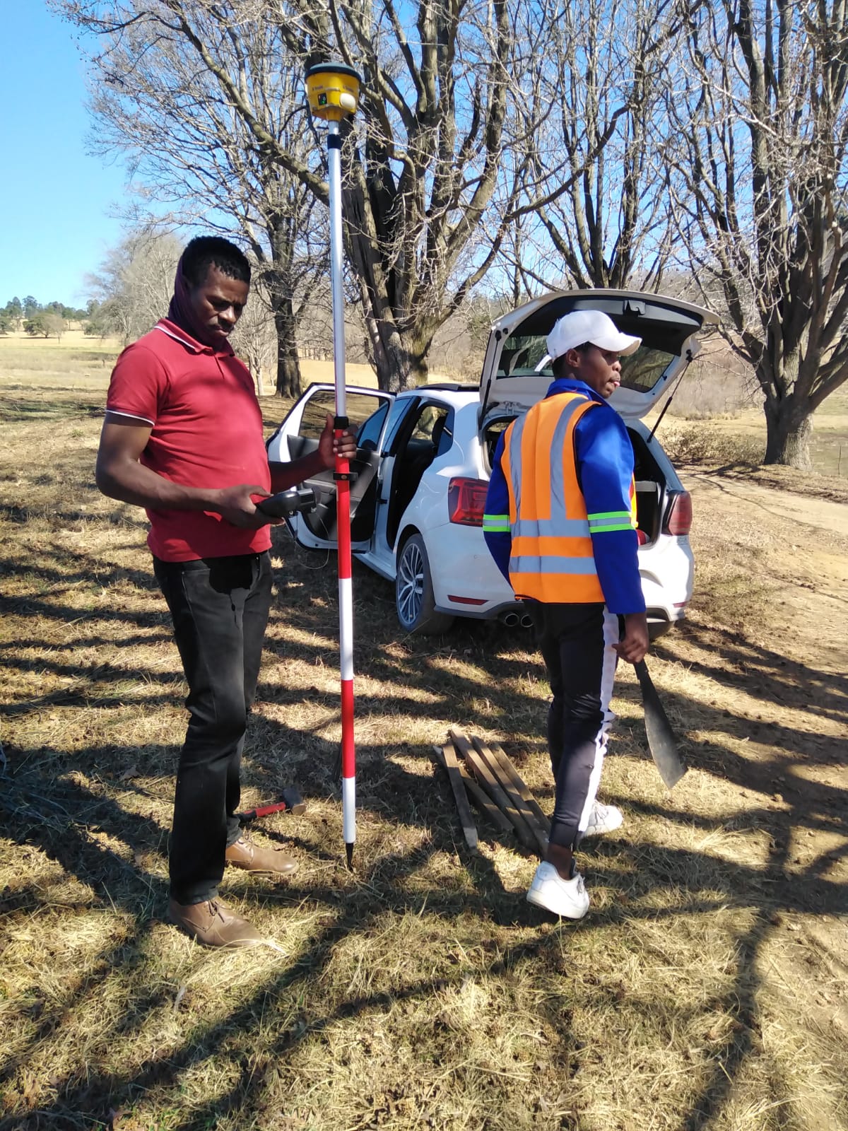
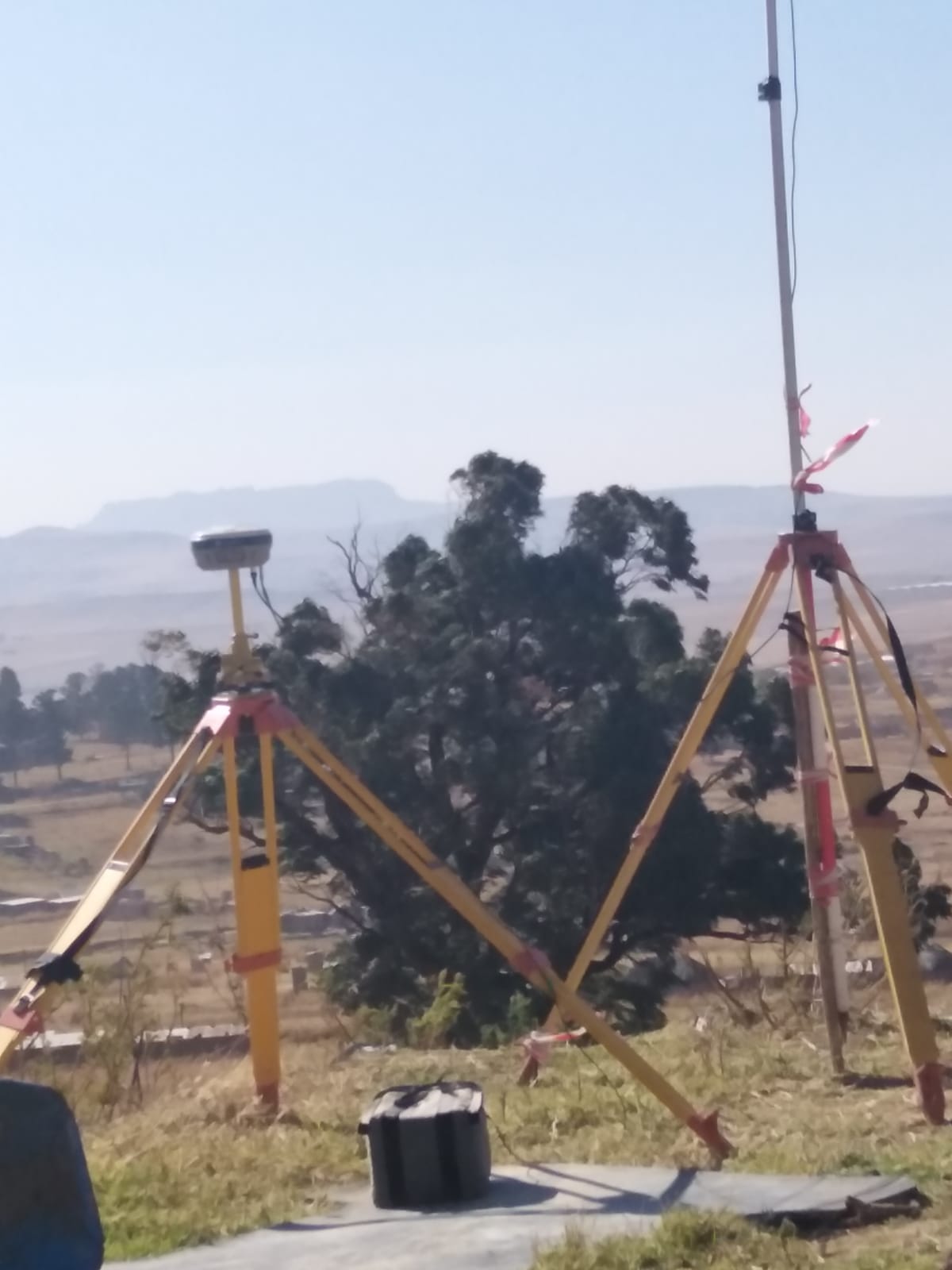
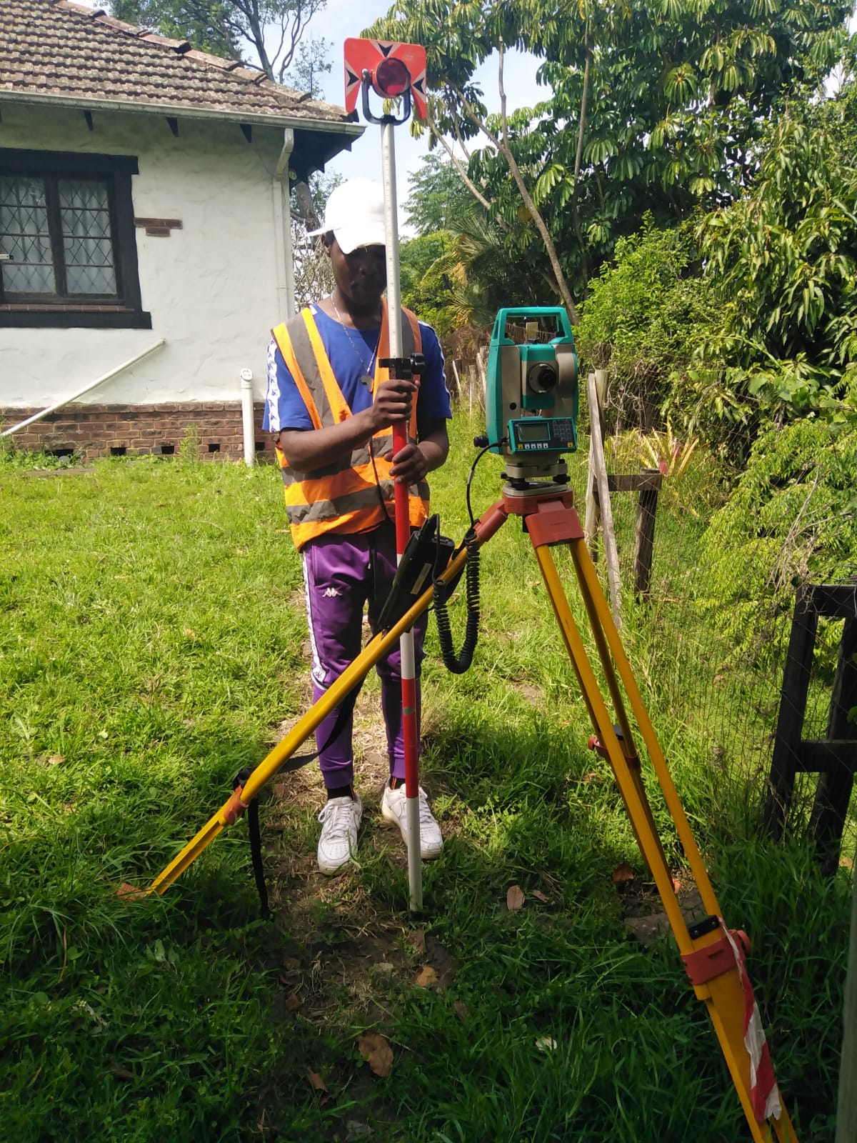
Land Surveys
We assist in determining the terrestrial or three-dimensional positions of points and the distances and angles between them
Hydrographic Surveys
We assist with the measurement and description of features which affect maritime navigation, marine construction, dredging, offshore oil exploration/offshore oil drilling.
Sectional Title
We assist with the collection, storage, and dissemination of information about ownership, value and use of land while implementing land management policies
Topographic Survey
A topographic survey locates all surface features of a property, and depicts all natural features and elevations. Specifically, it shows their location, size, height and any changes in elevation.
Cadastral Survey
We assist in the establishment and re-establishment of real property boundaries. It involves the physical delineation of property boundaries and the determination of dimensions, areas and certain rights associated with properties
Drafting
We assist with the collection, storage, and dissemination of information about ownership, value and use of land while implementing land management policies
Mining Surveys
We advise surveying mining engineers about geological areas that can be profitably mined
Town Planning
We assist with the planning and design of all the new buildings, roads, and parks in a place in order to make them attractive and convenient for the people
Registered Land Surveyors
Let’s Talk About Your Project, No Project too Big or too Small


km7
km6

km5

km4

km3

km2

km1

km02

km05
km06

km07
km011

kmbm1

km019
km021

WhatsApp Image 2021-12-09 at 6.27.47 AM
WhatsApp Image 2021-12-09 at 6.27.46 AM
WhatsApp Image 2021-12-09 at 6.27.31 AM(1)
WhatsApp Image 2021-12-09 at 6.25.50 AM(1)
WhatsApp Image 2021-12-09 at 6.25.48 AM(1)
WhatsApp Image 2021-12-09 at 6.25.48 AM(3)
kms5

kmbm3